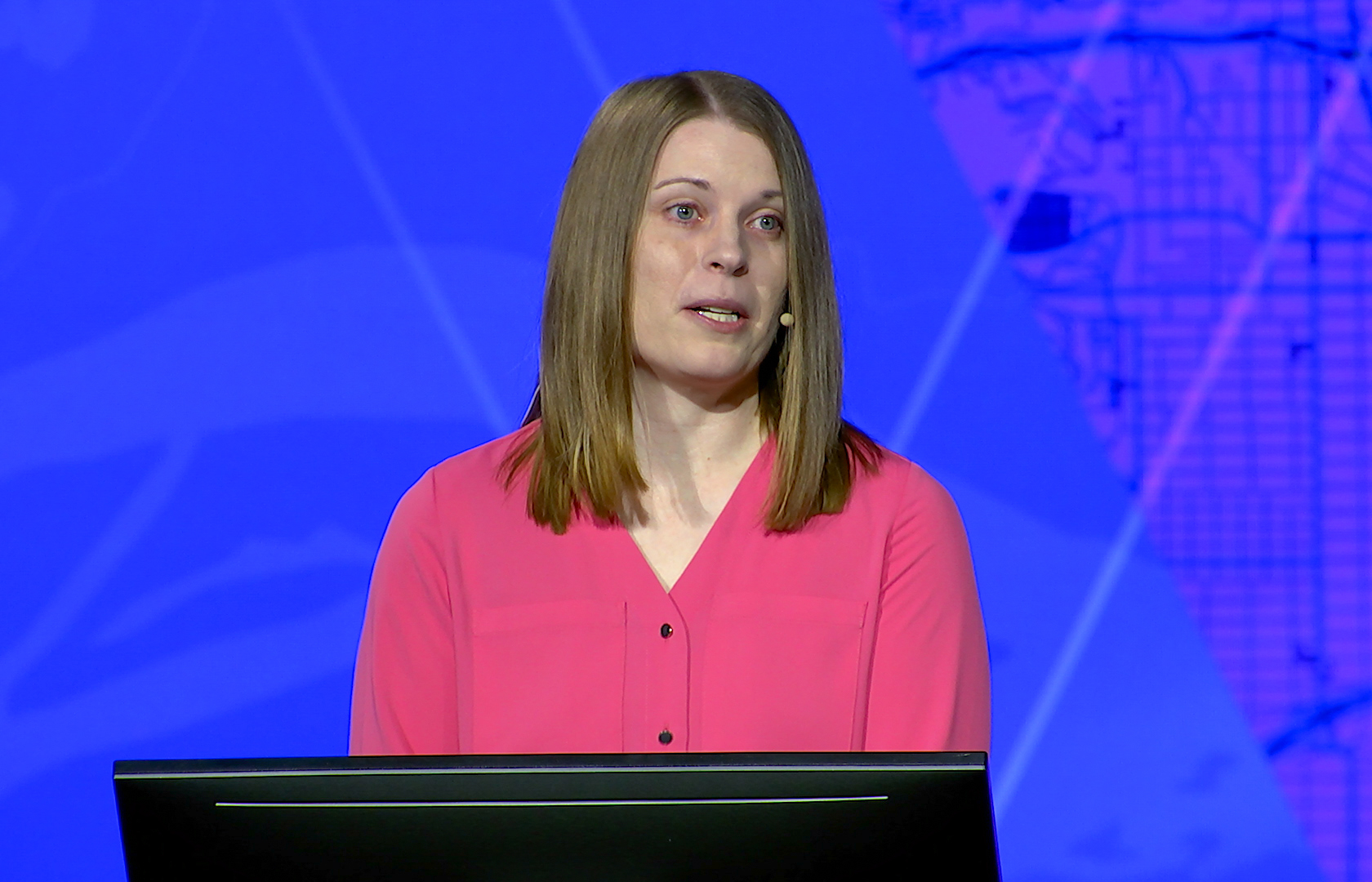
A middle school geography project started Kitty Hurley M’09 on what would become her lifelong career.
Before the dawn of MapQuest or Google Maps, Hurley and her classmates were asked to construct a detailed map from the school to their homes and back, using landmarks and other directions.
“I had a really fun time thinking about how you navigate someone,” she said. “That broke the ice for me.”
Fast forward to Hurley’s undergraduate experience. After taking a geography course and once again falling in love with the subject, she was pleased to discover she was only one credit short of having a degree in geography.
Then, during the recession, Hurley decided to pursue graduate school. She discovered Saint Mary’s Master of Geographic Information Science (now Data Intelligence and GeoAnalytics) program.
“I was excited about making it easier for people to have access to water, especially in the Arizona desert area, and Geographic Information Science (GIS) was something that could help do that,” she said. “From there I kept going down the GIS route but instead of thinking about it as the be all, end all, that it was more of a tool … and how do we apply that tool to the work or the question at hand?
“That’s how I’ve gone from being a GIS analyst to a developer over time — by taking that path of how it can be applied in a different way and just shifting the way that technology has shifted.”
Now a senior product engineer at Esri, Hurley is focused on web accessibility and usability.
“We do a lot of testing. I give a lot of recommendations for the team. I’m providing the code that needs to be modified to fit accessibility to make it more usable,” she said, explaining that she’s working with assistive technologies like a screen reader or eye tracking software. She’s also on the Calcite Team (a collection of design and development resources for easy to use, cohesive experiences across apps) and with Maps SDK for the JavaScript team (using maps to make everything more accessible).
She also does quality assurance, quality control, and works with developers and designers to create cohesion and keep things on schedule.
“Every day is different which marks it fun and exciting,” she said, adding that having 100 percent accessibility makes it unusable. “You might have a solution that works for you, but then how does it work for other people? We’re designing for millions of people, so how do we make it usable? It’s a fun discussion.”
Before coming to work with Esri, Hurley worked about 10 years for the State of Minnesota, beginning as a student worker in a GIS field technician position while attending Saint Mary’s. She then worked for both Hennepin County and the City of Brooklyn Park before coming back to the state to work as a junior developer, through which she rewrote interactive maps to be more accessible.
“That’s where my passion for accessibility started,” she said. She then moved from the Department of Health to the Department of Natural Resources and dove more into advanced mapping capabilities, and she then rose in leadership, qualifying her for her current position.
It’s not a surprise to Hurley that women represent just 33 percent of GIS workforce globally (Mackenzie 2022), as it reflects what she’s generally seen through her career.
But with growing opportunities in the field of data science and geographic information systems, Hurley encourages students to pursue what can be a very meaningful career — one that can better the world.
